GeoCoverage with Circles [private]
GeoCoverage with Circles
Summary
- The client has a script to collect data from Google Places within 50km radius circles, but circles of each country and geospatial data are not considered.
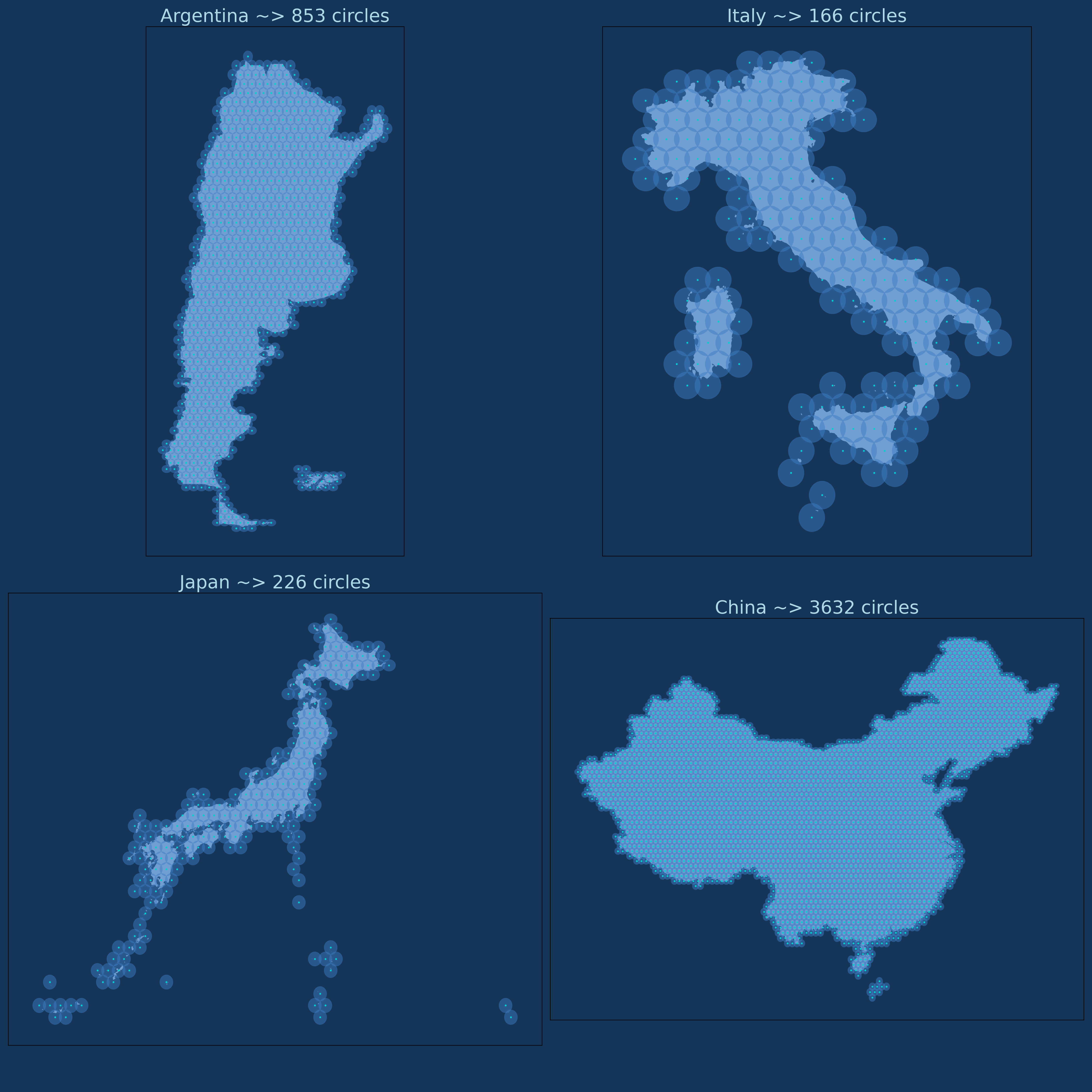
- I integrated a new functionality: I obtained all the polygons of the countries in the world. Given one of them, circles with a radius of 50km are generated to cover the entire area with minimal overlap.
Introduction
- Data Source: I obtained the polygon data using OpenStreetMap (OSM).
- Circles Generator: Given the polygon of a country, the script generates circles that perform SpatialJoin with the country’s surface.
- Minimal Overlap: Minimal overlap is achieved by offsetting the centroids by exactly half the distance between them.
- Circles Radius: The client requires circles with a radius of 50km, but the system works with any radius.
- Exported Data: The country’s polygon, centroids, and circles are exported in 3 different GeoJSON files.
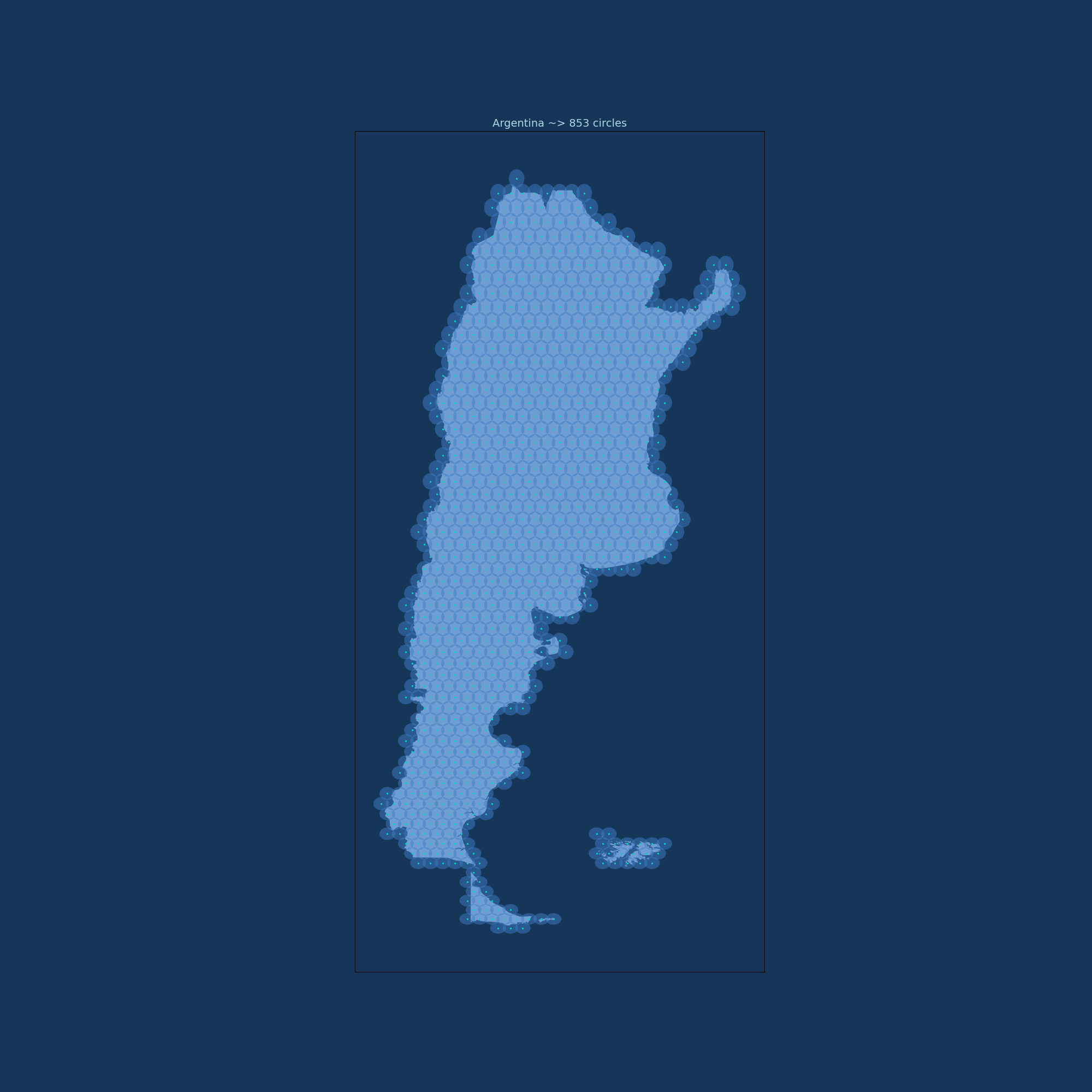
- Plots: Visualizations shown in Figure 1 are added.
Project Goal
Find all the circles given any polygon, and for each of them, gather geographic data.
Images
Technologies
- OpenStreetMap (OSM): Open-source community for geospatial data.
- GeoPandas: Used for processing polygons, circles, and centroids.
- Matplotlib: For data visualization.
Project Highlights
- The ability to generate all circles given a country was successfully delivered to the client.
- Minimal overlap was essential for the requirement, as Google Place charges for each API call.
- A simple mechanism for exporting and visualizing data is provided.
This post is licensed under CC BY-NC-ND 4.0 by the author.

